Garmin Edge 810 Bundle Europe

GPS cycling computer with 2.6 "touch screen, map of the Czech Republic, heart rate, cadence and speed sensor, data card with map of Europe.
The Garmin Edge 810 is able to guide the cyclist through the terrain and on the road, evaluate a wide range of variables or motivate athletes to perform better. For selected parts of the track (such as mountaineering bonuses), he is able to track and maintain the order of the best times and cyclists who achieved the best result. The Garmin EDGE 810 uses a 2.6 "touch screen, which is perfectly readable even in direct sunlight. Thanks to the increased sensitivity, you will have no problem controlling the navigation even in gloves or rain. The device is resistant to shocks, mud, moisture and water. water at a depth of 1 meter for 30 minutes.
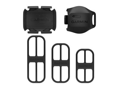
Thanks to the highly sensitive GPS receiver, it also works in places with minimal views of the sky, such as dense forest or urban development. The Edge 810 is equipped with Bluetooth 4 and ANT + wireless technologies. It allows the connection of external sensors, such as innovated cadence and wheel rotation sensors, ANT + Vector pedals with separate power measurement for left and right foot or Shimano Di2 electronic converter, which can be used to monitor information about the currently selected gear.
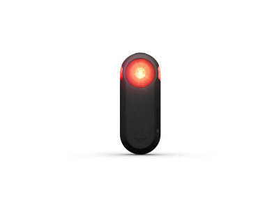
The Edge 810 can also be supplemented with a wireless remote control with the possibility of controlling the device without having to leave the cycling position. It is also able to control the Garmin VIRB outdoor camera from its touch screen (start recording, take photos or add GPX data to the VIRB model without GPS).
The price of the device includes a detailed tourist navigation map Topo Czech PRO, which contains not only a complete road and street map of the Czech Republic, but also hiking trails, bike paths, field or forest roads in the scale of 1: 10,000. information about the segmentation of the selected route. It thus enables the device to calculate the fastest or shortest route to the destination on roads / streets / tourist routes and cycle routes in the Czech Republic.
Garmin Connect is your online training tool for storing, analyzing and sharing all your fitness activities. Join the millions of users who run, ride a bike, swim and walk. Analyze your progress and performance with ready-made reports. You can easily track your average pace per bike over a period of time, miles per month, or compare your average heart rate with your average rate over the year. The reports are useful for both trainers and every lover of an analytical approach to fitness.
Transmission: Bluetooth (telephone communication)
Pedaling frequency: Yes
Temperature: Yes
Data transfer to PC: Yes
Water resistance: Yes, IP x7 (Protected against immersion in water. Immersion for 30 minutes to a depth of 1 meter)
Power supply: rechargeable Li-Ion batteries, lasts up to 17 hours
Display: color LCD, 2.6 ", 36 x 55 mm, 160 x 240 pix
Weight: 98 g
Memory: up to 180 hours of activities
Heart rate: Yes
Altitude functions: Barometric altimeter
Basic maps: Tourist map of the Slovak Republic at a scale of 1: 10,000, Road map of Europe on the card
Possibility to complete maps: Yes
Memory card slot: microSD
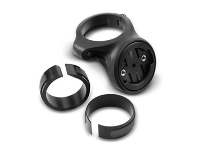
Package contents: Edge 810 device, data card with Topo Czech PRO map (map registration code), self-navigation map CityNavigator Europe on microSD card, A / C adapter + USB cable, bicycle holder, pedal cadence sensor, premium heart rate sensor, instructions for use
| product ID | 29334 |
All the answers to questions about delivery, payment, security, returns, warranty and much else.

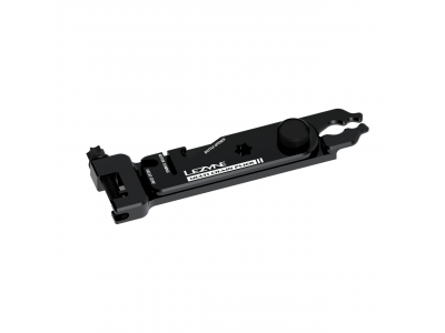
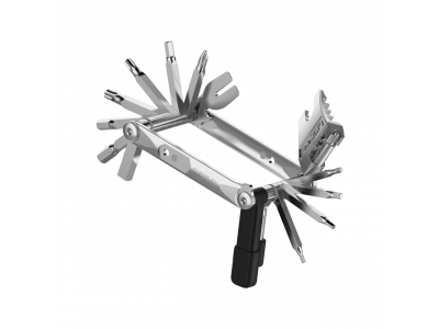
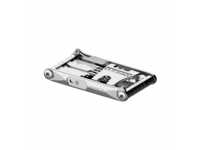
Sale -13% Lezyne Multi Chain Pliers multi tool, 5 functions
25.99 €
-13%
RRP 50.99 €
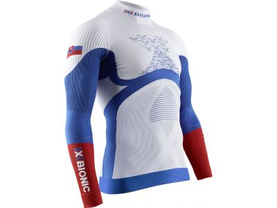
savings X-BIONIC Energy Accumulator 4.0 T-shirt, Slovakia
from 119.99 €
savings
RRP 189.99 €

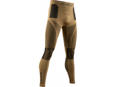
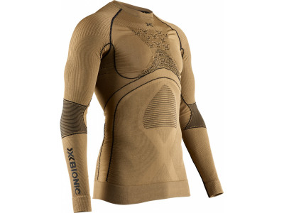
-14% X-BIONIC Radiactor 4.0 base layer long sleeve shirt, gold
129 €
-14%
RRP 199.90 €


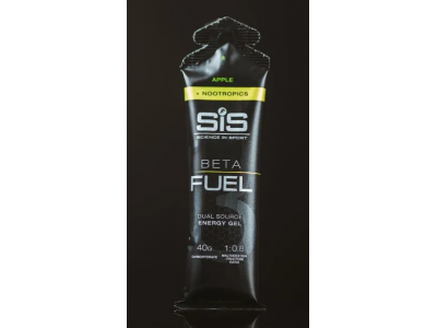
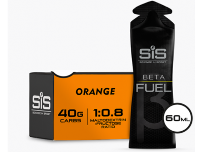
Sale -17% SiS BETA FUEL energy gel + nootropics, 60 ml
from 1.89 €
-17%
RRP 3.79 €

We are the largest cycling e-shop in Slovakia, verified by 100,000+ customers.

We are available via e-mail, online chat, phone or in person at our MTBIKER stores.

Thanks to your order we can support cycling development.

The payment process is safe and we offer you a wide range of options.

We will reward you for your purchase and also for quality contributions in the MTBIKER forum, e-shop, trips and photo gallery.

Visit our store with a pump-track and trail access or our showroom in a historical bulding in central Bratislava.

There are currently no reviews