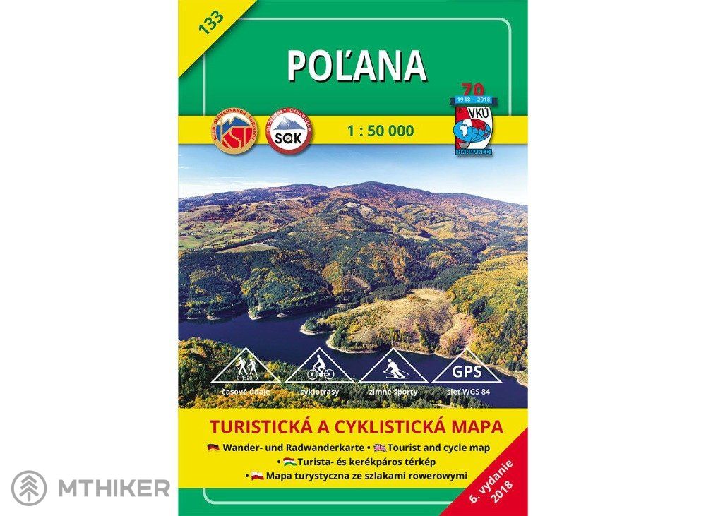
Glade


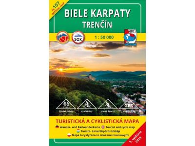
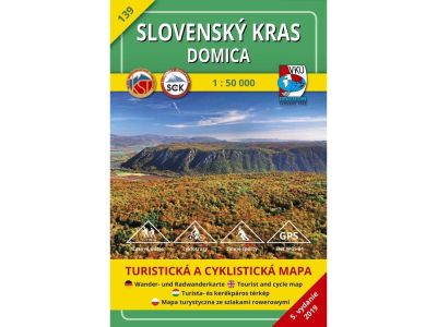
The most popular and leading tourist maps from the workshop of the traditional Slovak publisher VKÚ Harmanec.
The map has undergone a complete detailed update of each location by local investigation personally by employees of VKÚ Harmanec, s.r.o
Tourist routes, including time data, were updated in cooperation with the Slovak Tourist Club, and cycling routes were updated in cooperation with the Slovak Cycling Club.
The map contains updated routes for winter tourism and important landmarks.
- Contains "WGS-84" geographic grid display (1 minute interval) for use with GPS devices.
- The terrain of the map is shaded, with contour lines at a scale of 1:50,000 - 20 m.
- The text part, which is part of the map, also contains extended tourist information.
- Explanations in five languages make the map universal even for foreign tourists.
- The format of the folded map is 128x194 mm, it is stored in a practical plastic case.
| Sport | cycling, hiking |
| product ID | 206728 |
All the answers to questions about delivery, payment, security, returns, warranty and much else.






















There are currently no reviews