Garmin Edge 1030 navigation
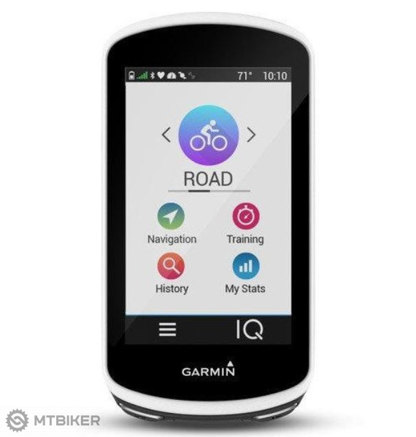


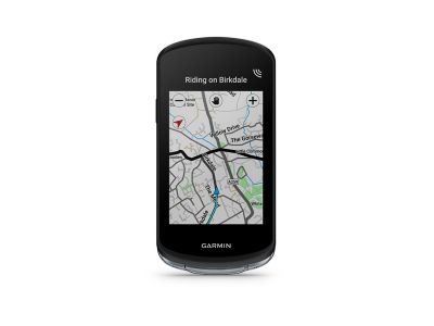
The navigation includes cycle maps of Europe, a detailed topographical map of the Czech Republic, all with free updates. Navigation will offer you the shortest or fastest route to your destination.
The new feature is that the navigation will warn you of upcoming sharp turns, in case of a defect it will send an SMS to the number you choose, you can also connect to the Garmin Vario radar, which can detect approaching vehicles behind you, in short, Garmin is trying to increase the safety of the driver on the road.
The battery lasts up to 20 hours, it is possible to connect (with the help of a new stand) a backup power source, an external battery power pack, with which you get another 40 extra hours.
Garmin Edge 1030 has improved smart notifications, it will inform you when the weather changes, it will send automatic messages in case of an accident.
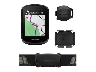
It is compatible with products: Varia, Vector, Virt, communicates via USB, Bluetooth, WiFi, ANT +.
A new feature is the Trendline function, which will suggest a cycling route for you based on the popularity of individual roads between the points you are about to reach.
Another novelty is live communication between cyclists. This will enable your smartphone and navigation display. It is a matter of course that notifications are linked to messages from your mobile phone, including the display of incoming calls. And if you want, you can quickly reply using pre-prepared sms.
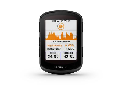
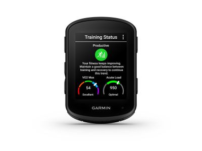
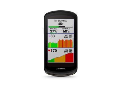
Garmin thought of all fans of training applications such as Strava. Strava segments can be watched in real time on the display, the cycle computer warns you about everything well in advance, informs you second by second and compares everything with your personal record, everything is then automatically uploaded to your Strava account.
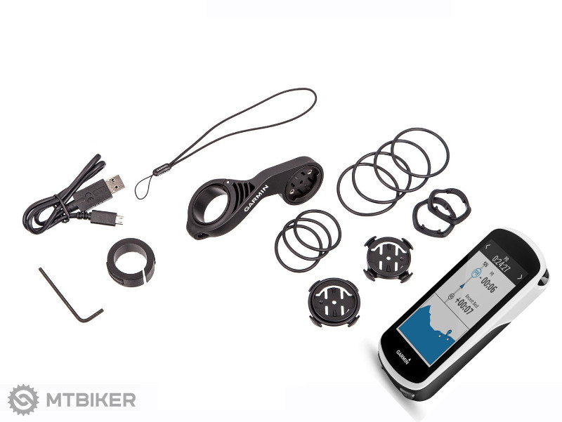
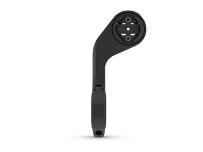
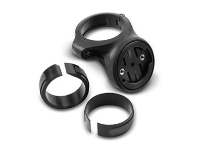
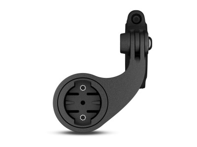
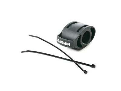
The attachment itself is solved by a front- mounted stand, which is in an aerodynamic cover with the handlebars, and compatible accessories can be attached to it, e.g. already mentioned backup battery.
Edge 1030 can be used both on several bicycles and on a bicycle trainer. It is fully compatible with all common OS, such as iOS, Android or Windows Phone.
Transmission: ANT +, Bluetooth, WiFi
Cadence frequency: Yes, optional (sensor not included)
Elevation: Yes
Temperature: Yes
Data transfer to PC: USB, ANT +, Bluetooth
Waterproof: yes, IP x7 (Protected against immersion in water. Immersion for 30 minutes to a depth of 1 meter.)
Performance: up to 20 hours: ext. backup source for another 40 hours
Circuit training: Yes
Power supply: rechargeable Li-Ion, endurance up to 20 hours
Display: color LCD with dual orientation, 3.5 (91 mm)
Temperature range: -20 °C to + 60 °C
Weight: 123 g
Memory: internal memory 2GB
Heart rate: yes
Altitude functions: barometric altimeter
Base maps: yes
Possibility of completing maps: yes
Memory card slot: yes, MicroSD
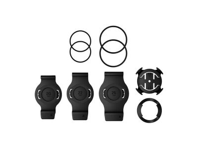
Package contents: data card with TOPO Czech Pro map, standard and offset bicycle holder, microUSB cable, strap, manual
| product ID | 45630 |
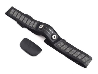
savings Garmin HRM DUAL chest strap with heart rate sensor
69.99 €
savings
RRP 109 €
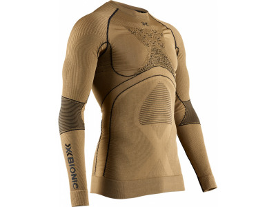
-15% X-BIONIC Radiactor 4.0 base layer long sleeve shirt, gold
from 135 €
-15%
RRP 167 €


We are the largest cycling e-shop in Slovakia, verified by 100,000+ customers.

We are available via e-mail, online chat, phone or in person at our MTBIKER stores.

Thanks to your order we can support cycling development.

The payment process is safe and we offer you a wide range of options.

We will reward you for your purchase and also for quality contributions in the MTBIKER forum, e-shop, trips and photo gallery.

Visit our store with a pump-track and trail access or our showroom in a historical bulding in central Bratislava.
There are currently no reviews